Projects
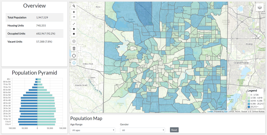
Census Dashboard
This application uses the Census API to display population statistics for the county. Charts update dynamically based on user selection. Users can control the density map using the Population Map section.
React, Bootstrap, Leaflet, .NET Core 2.1, C#, Census API
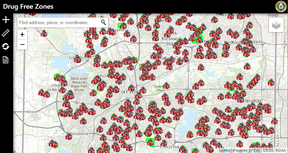
Drug Free Zones
District Attorney and law enforcement officials use this app to determine if a drug offense was committed in a drug free zone. Using predefined school zones and drawing tools, prosecutors can determine whether or not to pursue a drug free zone charge without any additional software or personnel.
JQuery, Bootstrap, Leaflet
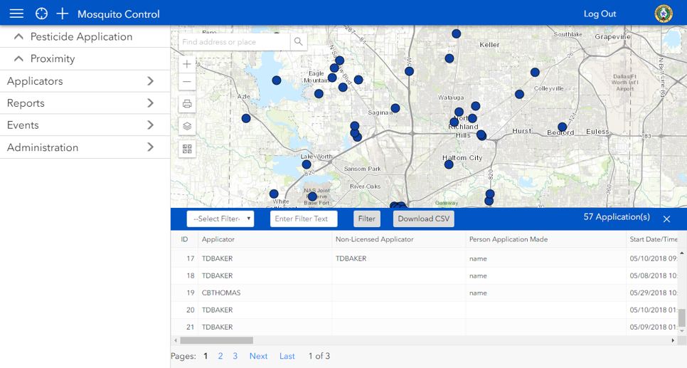
Mosquito Control
Users can track mosquito spraying events from the office or in the field. The application is made using mobile-first design principles to support quick data entry and uses basic authentication to keep the data secure. The desktop version allows users to manage pesticide applicator licenses.
JQuery, Bootstrap, ArcGIS Javascript API, ASP.NET C#, T-SQL
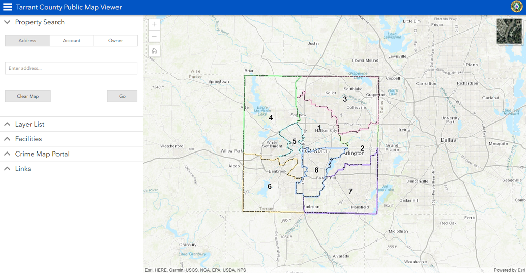
Public Viewer
My first solo project, this application allows users to get information about their property within Tarrant County and links to some of the other offerings from the GIS department.
JQuery, ArcGIS Javascript API, ASP.NET C#, T-SQL

Waze Data Script
This script takes advantage of the Waze Connected Citizen program to obtain a live feed of Waze alerts and traffic data. The live data is saved to a database every 15 minutes for future analysis and use in other Tarrant County projects.
Python, Waze API, T-SQL

Waze/Cartegraph Integration
This script searches Waze data for reports of potholes on county maintained roads. If a pothole is detected, a request is sent to Cartegraph (the county’s asset management software) through their API.
Python, Cartegraph API, T-SQL
